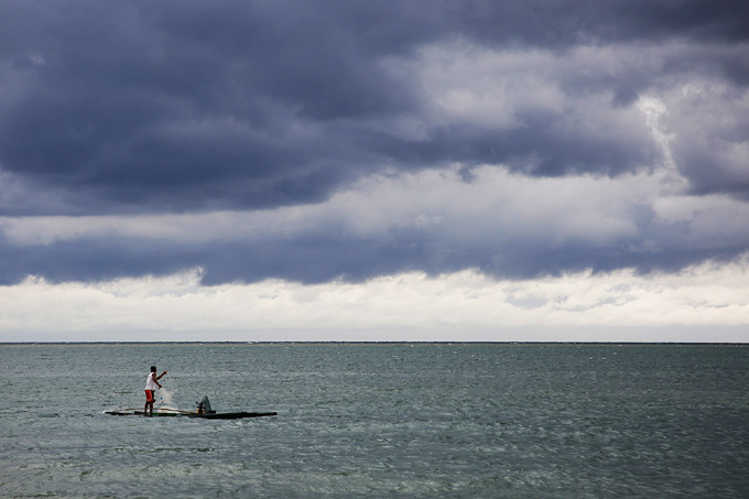
Tropical depression “Nando” has already left the country’s area of responsibility and will no longer affect any part of the country, according to weather forecasters.
The Philippine Atmospheric, Geophysical, and Astronomical Services Administration estimated the location of Nando at 625 kilometers west of Sinait, Ilocos Sur yesterday morning. It has maximum sustained winds of 45 kilometers per hour and gustiness of up to 60 kph.
The tropical cyclone has no effect over the country but the extension of a new low pressure area east of the country may bring rains over Eastern Mindanao.
PAGASA said the trough of the LPA will affect Surigao del Sur, Compostela Valley, Davao Oriental, Davao del Sur, and Davao Occidental, bringing cloudy skies with scattered rain showers and thunderstorms.
It noted that thunderstorms will likely be accompanied by lightning, moderate to occasional heavy rains, strong winds, and flash floods.
Meanwhile, localized thunderstorms will prevail over Metro Manila and the rest of the country.
Partly cloudy to cloudy skies with isolated rain showers or thunderstorms are expected over these areas, with possible occasional lightning, strong winds, or heavy rains, PAGASA said. (Ellalyn V. Ruiz)


